-
(818) 833-8737
13521 Hubbard St.Sylmar, CA 91342
- Login
Evacuation Zones & Emergency Information - Genasys Protect
Posted on 11/19/2026
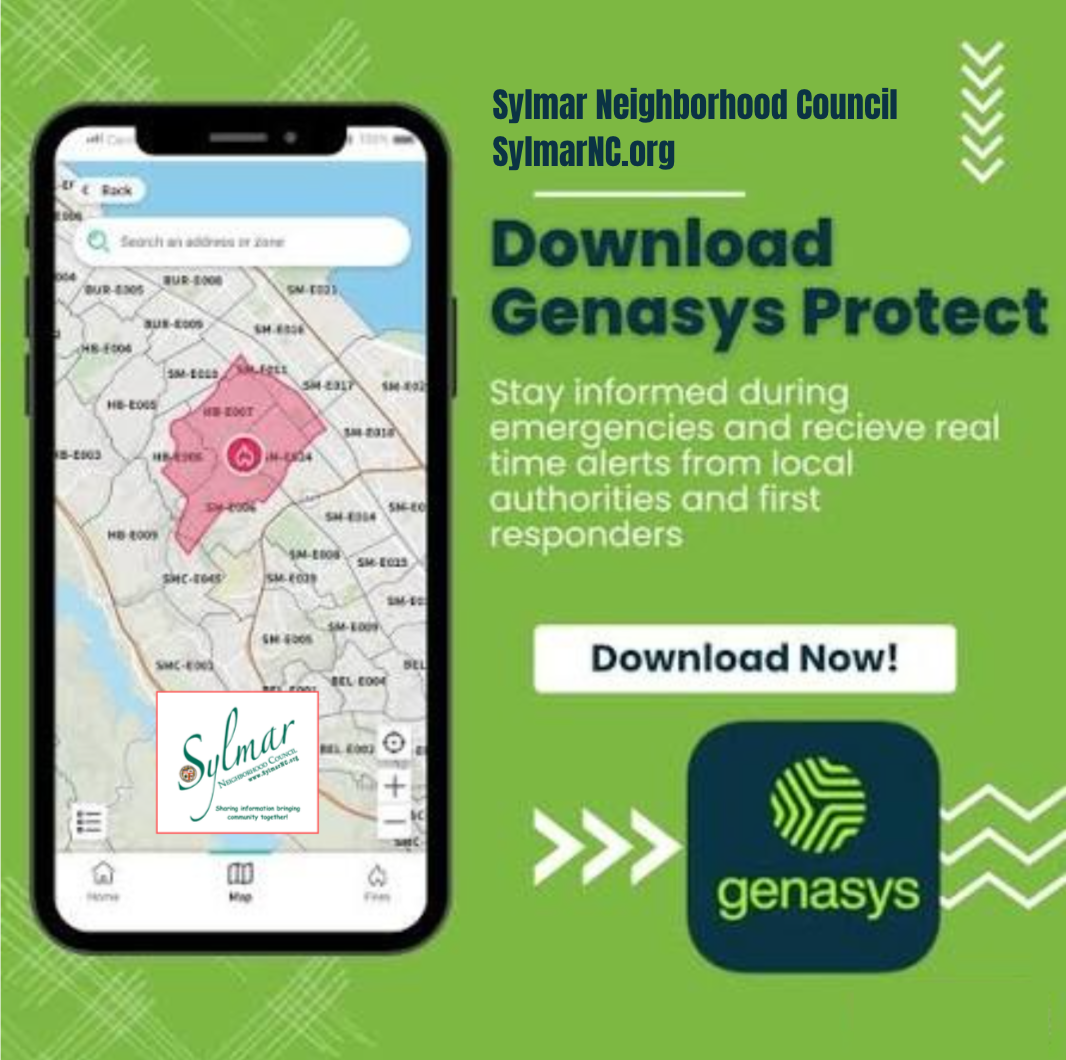
Genasys Protect is a public safety and emergency communication platform used by local authorities. - including the Los Angeles Police, Los Angeles Fire, and the LA City Emergency Management Department - to share real-time evacuation zones, hazard alerts, shelter locations, and road closures during emergencies like wildfires, floods, and severe weather.
How It Works for Residents
- Check Your Zone: Look up an address or share your current location on the Genasys Protect Public Map to see your zone ID and evacuation status (such as normal, warning, or order).
- Get Alerts: Subscribe to zones for your home, work, or other frequent locations on the free mobile app (iOS and Android) or web map to receive push notifications and status updates.
- View Hazards & Routes: Check active incidents and hazards on Genasys Hazards, along with evacuation routes, temporary evacuation points, and shelter details when an incident is active.
Key Features
- Communication Zones: Divides areas into specific zones based on geography, population, and traffic so alerts target affected communities clearly.
- Multi-Channel Alerting: Supports emergency and community messaging across channels like SMS, IPAWS, email, social media, and the public app.
- Offline Map Prep: Allows users to download maps in advance in case power or network service is disrupted during an event.
Know Your Zone!
Genasys Protect - https://www.genasysprotect.com/en?lat=34.0549&lng=-118.2426&z=11
Genasys Protect - Apps on Google Play:
https://play.google.com/store/apps/details?id=com.aware.zonehaven&hl=en_US
Genasys Protect - App Store:
https://apps.apple.com/us/app/genasys-protect/id1626884549
Represent Your Community

FIRE! Be Ready! Tree Dangers
Sign-Up to Receive Agendas

Sylmar Community Calendar

MyLA311


My LA 311
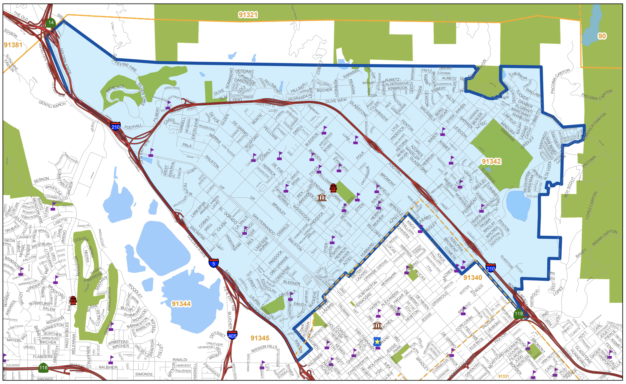
Area Boundaries and Map
View our neighborhood council boundaries for which we deal with.

EMPOWER LA

NEIGHBORHOOD COUNCIL CALENDAR & EVENTS
The public is invited to attend all meetings.
NEIGHBORHOOD COUNCIL FUNDING SYSTEM DASHBOARD
SUBSCRIBE TO NC MEETING NOTIFICATION